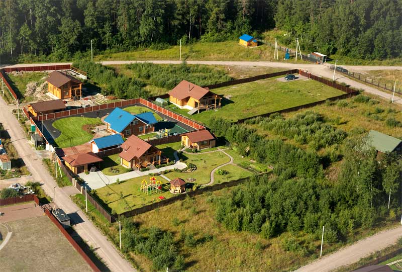
In contrast to the horizontal, aerial photography of real estate and land perfect when you need to receive pictures at any stage of construction, reconstruction, or ready-made objects prepared for sale. It is done using special equipment, which provide correction of geometric distortions of images and reference points to geographic coordinates. Photo, thus obtained, are perfect for making photopresentation, advertising photobucket. Also, this method is actively used by construction companies as a highly effective advertising tool to promote constructed residential properties on today's real estate market.
the benefits of aerial photography
Aerial photography of real estate has a number of indisputable "pros":
- ability to cover the entire area of the site;
- option of high detail;
a large expansion of images, clarity and quality.
the benefits of this kind of shooting is the fact that the "bird's eye" images are far more informative than images obtained as a result of applying the traditional method. Indeed, in this case, the lens gets not only the object but also the area around it. In the end, aerial photography of real estate and land is the ability to collect complete and accurate information about the terrain, to carry out precise assessment of the location of neighbouring facilities and infrastructure of a particular area. Summary information suitable as a basis for topographic and cadastral work.
the shoot
There are two types of aerial photography:
- Planned.
- Panoramic (species).
During the compilation of project documentation, need planned shot, which involves the vertical location of the plane of the aerial camera to the ground. The photos are sorted in a single graphic file called fotoplan site. If necessary, this electronic document can be enlarged and to evaluate the topography in the area. This method of production of images is required when starting the measurement of the plot on which building is planned.
Panoramic aerial photography of land and real estate is at an angle and are often applicable in complex construction. Thus, the possible monitoring of a large construction site. The images will help to identify deviation from project to project, and to take timely measures to eliminate them. This will improve the quality of construction activities and their pace to save money.
Who performs this service?
Efficiently perform this kind of photography can only the firms having the license of the state sample on the implementation of these works. The resulting orthophoto is quite suitable for the solution of legal issues, including determining boundaries of land plots. The cost of this service depends on many criteria (study area, type of facility, weather conditions, time required) and are always negotiated individually.
the company "Guild Engineering" guarantees that the ordered aerial photography of real estate and land plots will be performed at a high professional level in a short time.